


 EN
EN KA
KA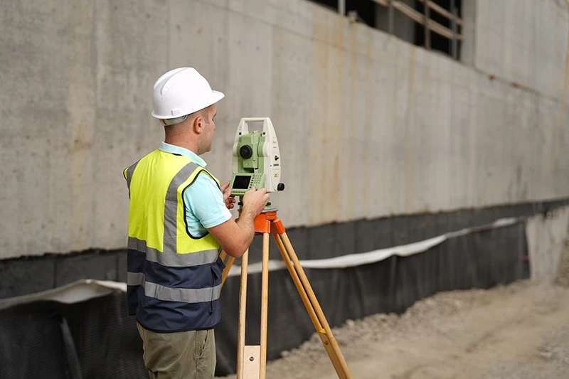
EFS provides professional geodetic and surveying services for construction, engineering, and infrastructure projects.
Geodetic works represent a critical component of both project planning and implementation. Accurate spatial data are essential for the development of design solutions, the proper execution of construction works, and the effective verification of completed works. Furthermore, the accuracy of geodetic data significantly facilitates the construction quality control process, supports the timely identification of deviations from project requirements, and enables an effective assessment of the conformity of completed works.
Our services include topographic and engineering-geodetic surveys, setting-out works, verification of elevation levels and spatial parameters, geodetic verification of completed works, and preparation of relevant technical data.
The application of modern surveying technologies and advanced data-processing methods ensures measurement accuracy, data reliability, and effective support for technical decision-making throughout the various stages of a project.