

 EN
EN KA
KA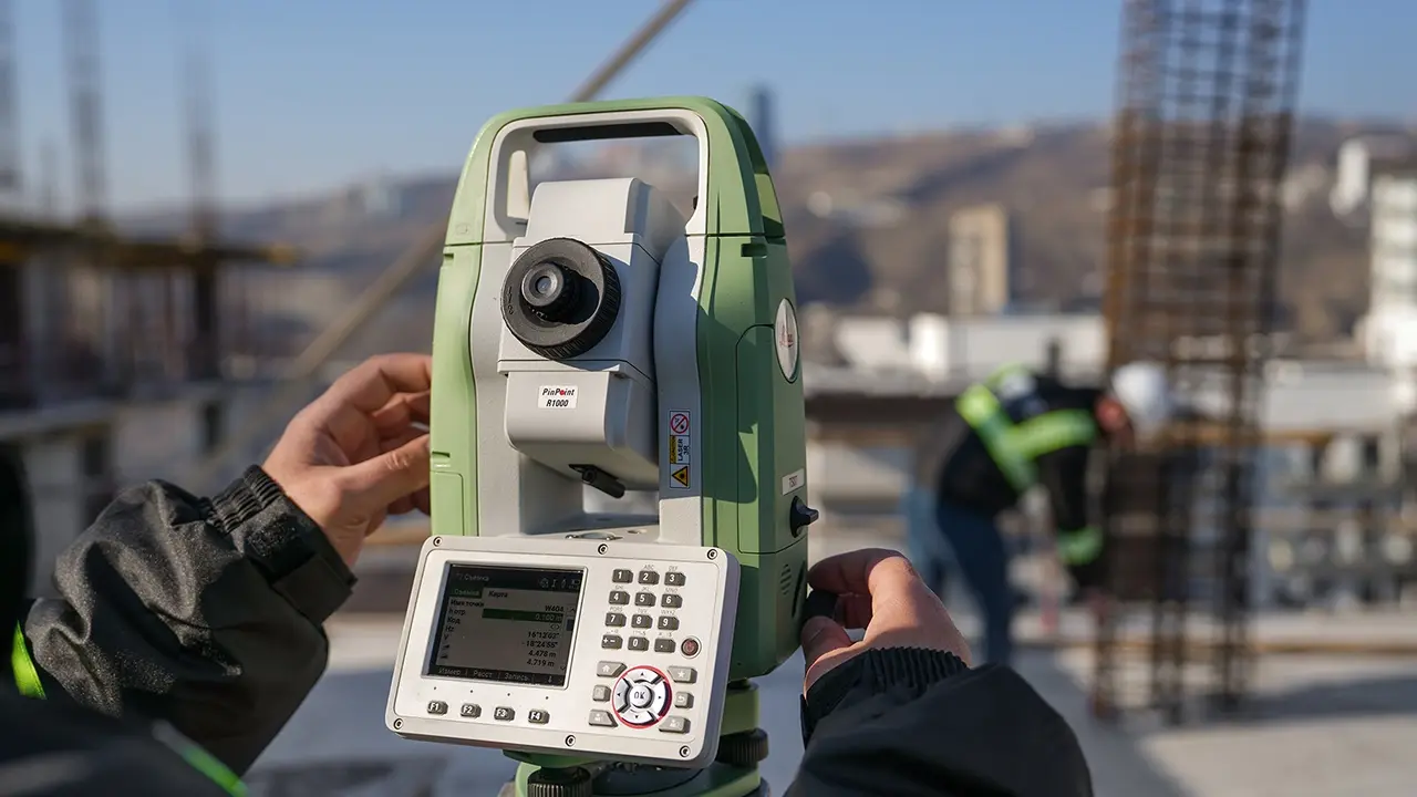
The number of new residential, commercial, and infrastructure projects in Georgia continues to grow each year. One of the first steps before construction begins is an accurate survey of the land plot. Before any work starts on site, it is essential to determine the plot boundaries, terrain, elevation levels, and the location of existing structures and features. These data are essential for ensuring that the building is positioned correctly and that the elevations specified in the project are accurately maintained.
Geodesy does not examine the physical or mechanical properties of soil or ground. Such characteristics are assessed through an engineering geological investigation. The purpose of a geodetic survey is to determine the spatial characteristics of a site, its terrain, and the precise location of existing objects and features.
What Are Geodetic Services and What Do They Include?
Geodetic services include land surveying, coordinate determination, establishment of elevation levels, terrain mapping, and the identification of existing buildings, roads, and utility networks. A topographic plan also reflects the cadastral boundaries of the plot in relation to the relevant cadastral data.
Based on this information, architects and engineers receive the baseline data required for design. For example, accurate knowledge of the terrain is essential when planning the location of a building, access roads, site layout, and drainage systems. This clearly demonstrates the importance of geodetic services, as an incorrectly recorded elevation or coordinate may result in the need for additional work at later stages of the project.
A topographic plan is equally important when buildings, fences, roads, or utility networks already exist on the site. Knowing their exact locations helps ensure that a new development is designed with the existing environment in mind and allows potential constraints that may affect the project to be identified at an early stage.
What Do Geodetic Surveying Works Include?
Geodetic surveying works may be carried out in several stages. During the pre-design stage, a topographic plan is prepared showing the terrain, elevation levels, existing structures, and utility networks.
By comparing topographic data with the design elevations, it is also possible to estimate the volume of earthworks required. This makes it possible to determine approximately how much soil will need to be excavated or added in order to prepare the site. Such information is particularly important for plots with complex terrain, where the difference between existing and proposed elevations may be significant.
At the beginning of construction, setting-out works are carried out. During this process, design data are transferred to the actual construction site, where the building’s main axes, foundation location, and relevant elevation levels are established. The accuracy of setting-out works is particularly important, as errors may result in deviations from the building location specified in the project.
Setting-out is not limited to marking the external perimeter of a building. Depending on the project and the stage of construction, additional transfer and marking of individual axes, structural elements, and elevation levels may be required. For this reason, the involvement of a geodetic specialist does not end on the first day of construction.
EFS’s geodetic services include both pre-design surveys and engineering geodetic works required throughout the construction process. Depending on the specific project, specialists work on topographic plans, setting-out, the control of elevation levels and spatial parameters, as well as geodetic verification of completed works.
Why Are As-Built Survey Drawings of Structures Necessary?
During construction and following the completion of certain stages, it may be necessary to prepare as-built survey drawings of structures. Such surveys show the actual position of completed works and indicate how closely they correspond to the approved design data.
An as-built survey may include the building footprint, axes, elevation levels, and the position of individual structural elements. Where applicable, a survey reflecting the final condition of the completed works may also form part of the documentation required for commissioning. These data make it possible to compare completed works with the project documentation and identify any discrepancies in a timely manner.
How Is a Geodetic Survey Related to a Construction Permit?
When planning construction, it is necessary to determine the functional zoning of the land plot, development parameters, and any restrictions that may apply to the site. These matters are not determined solely through a geodetic survey. Legal requirements and conditions related to urban infrastructure are verified in accordance with the relevant documentation and regulations.
A geodetic survey provides accurate spatial data for this process. It identifies where the plot is located, its actual physical condition, and the objects and features situated around it. Therefore, when preparing a project, geodetic and documentary studies are interconnected but remain distinct stages of the overall process.
It is also important to distinguish between geodetic surveys and engineering geological investigations. Incorrect determination of elevation levels may create problems in site planning, drainage direction, and compliance with project elevations. An engineering geological investigation, on the other hand, is required to assess the appropriate type of foundation.
What Determines the Cost of Geodetic Services?
The cost of geodetic services depends on the size of the land plot, the complexity of the terrain, the density of development within the area, the type of work required, and the required level of accuracy. Surveying a regularly shaped plot on flat terrain requires fewer resources than surveying a site located on a slope or in an area with difficult access.
The scope of topographic surveying, setting-out, and as-built surveying also varies from project to project. Therefore, the final cost is determined according to the specific characteristics of the site and the scope of the required work.
Why Should a Geodetic Survey Be Conducted Before Construction Begins?
Accurate spatial data obtained at the beginning of a construction project reduce the risks associated with incorrect planning, elevation errors, and the need for subsequent modifications. A geodetic survey provides the project team with reliable information about the actual conditions of the site where construction work is to begin.
A geodetic survey is often only one component of the work that must be completed before a project begins. When technical investigations, design stages, and documentation need to be coordinated simultaneously, EFS Consulting Company supports the project preparation process by facilitating coordination across various professional disciplines.
Professional geodetic services include topographic and engineering geodetic surveys, setting-out works, control of elevation levels and spatial parameters, geodetic verification of completed works, and the preparation of relevant technical data. Properly planned surveys provide the essential baseline information on which the subsequent stages of construction depend.